Grab wanted to develop a digital map adapted to users in smaller cities. Why? Because existing maps lack hyperlocal content or user-friendly experiences in these regions.

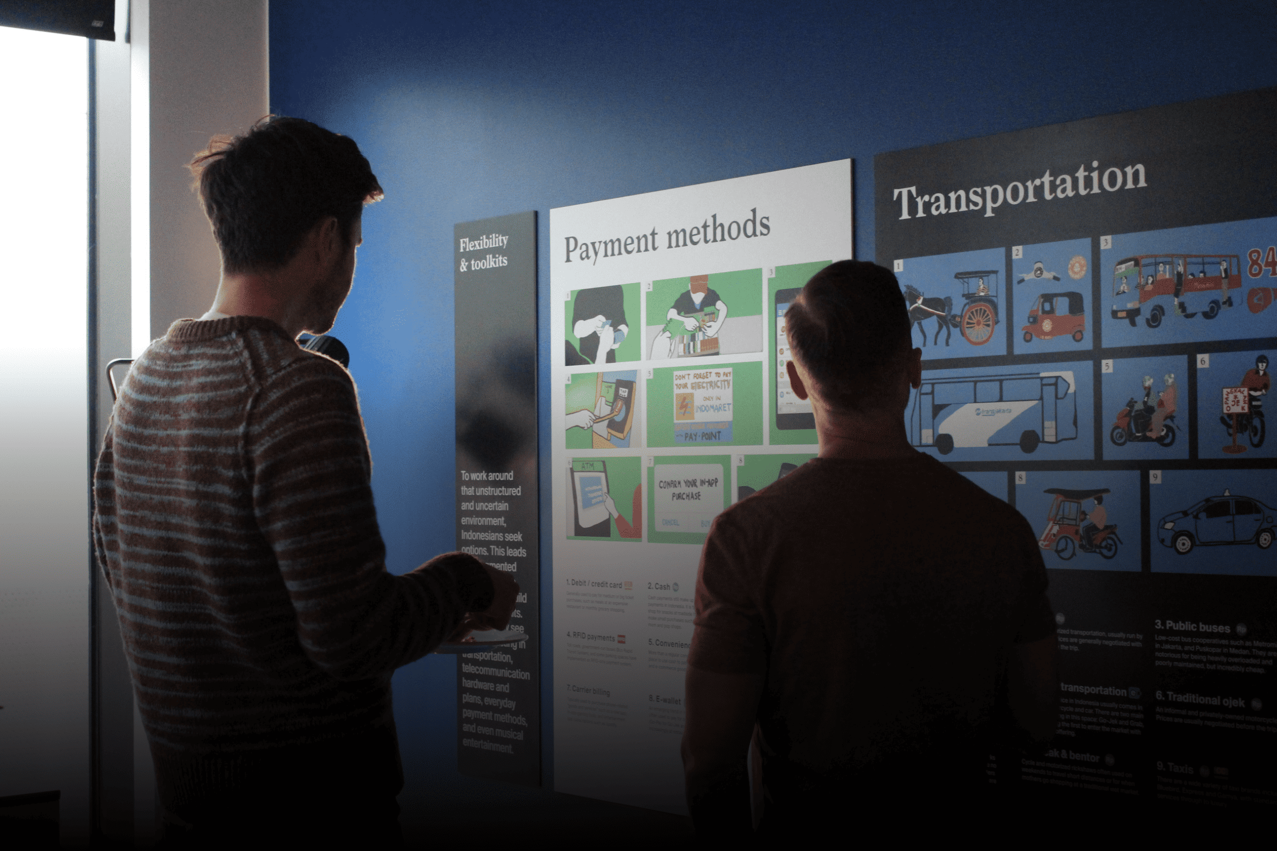
We conducted multi-stage ethnographic research to uncover how infrastructure, social cues, and habits shaped everyday mobility in Tier 2 cities. This included in-field interviews, diaries, and immersion into local mobility culture. We then moved into ideation and rapid prototyping, developing and testing new map concepts that reflected real-world behaviors, not just physical geography.

The outcome was a set of hyperlocal mapping features: routing by local landmarks, offline reliability, and an interface that works for users with lower digital literacy. Navigation in lower-tier cities isn’t just spatial, it’s social, and maps need to reflect that.
Related Projects
Next Project

Unilever: Rethinking Superior Taste
Nation Insights,
Indonesia
Nation Insights, Indonesia
Spotify: Growing Subscriptions in “Sachet Cultures”
Nation Insights,
Indonesia
Nation Insights, Indonesia